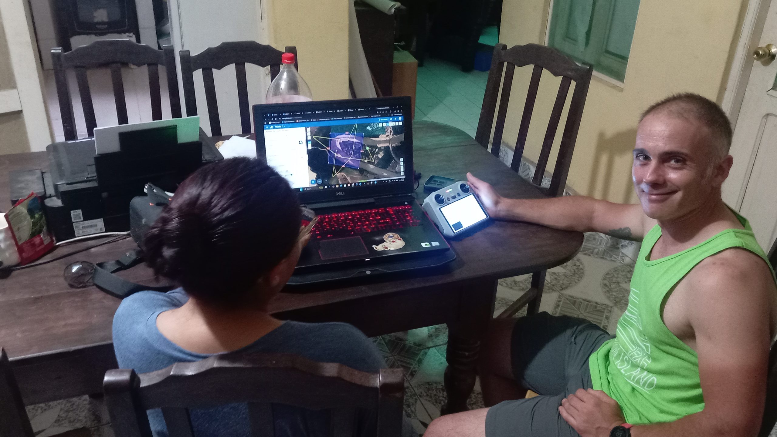
Yesterday, Jorge delivered a training session on the use of drones for mapping and monitoring purposes to a team of technicians at the CECASEM NGO. Thanks to this exchange, CECASEM will be able to strengthen its capacity to use drone-based mapping for a range of applications, such as monitoring the evolution of the logjam in the Maniqui River, assessing the performance and impacts of agricultural development projects, or documenting changes in land use and environmental conditions in the communities where they work. At the same time, Jorge was able to better understand the wide range of activities with which CECASEM supports Indigenous and peasant women across Bolivia.